Swiss Biking Route Planning Desktop App
Practice of Object-Oriented Programming (CS-108)
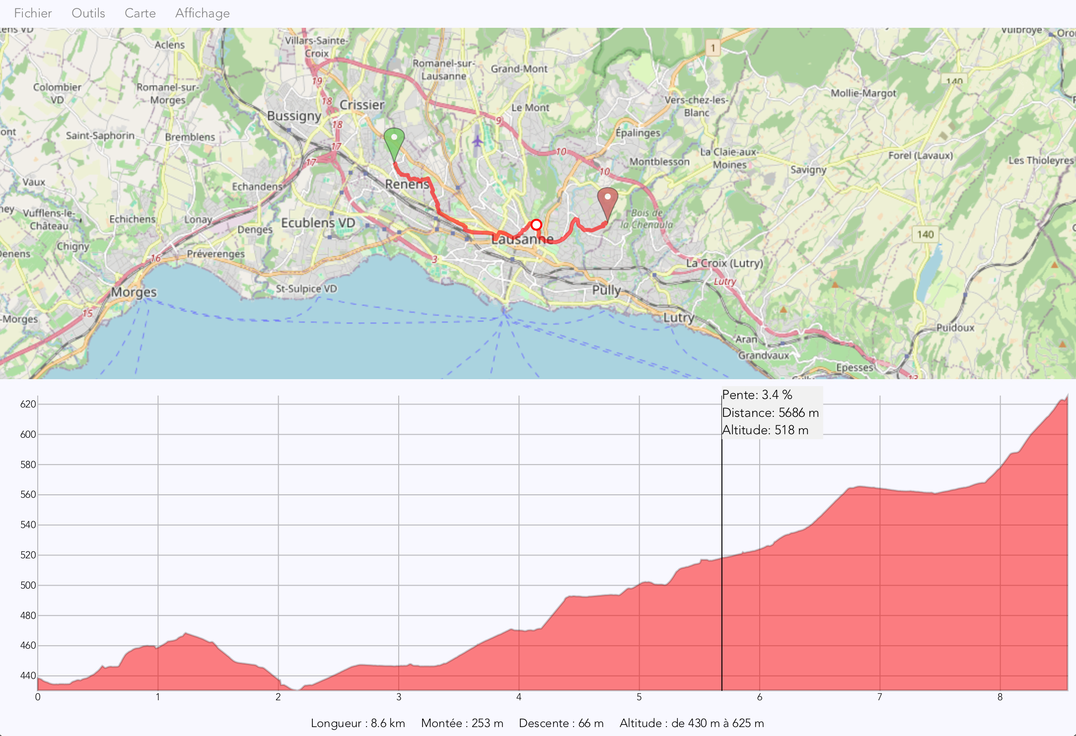
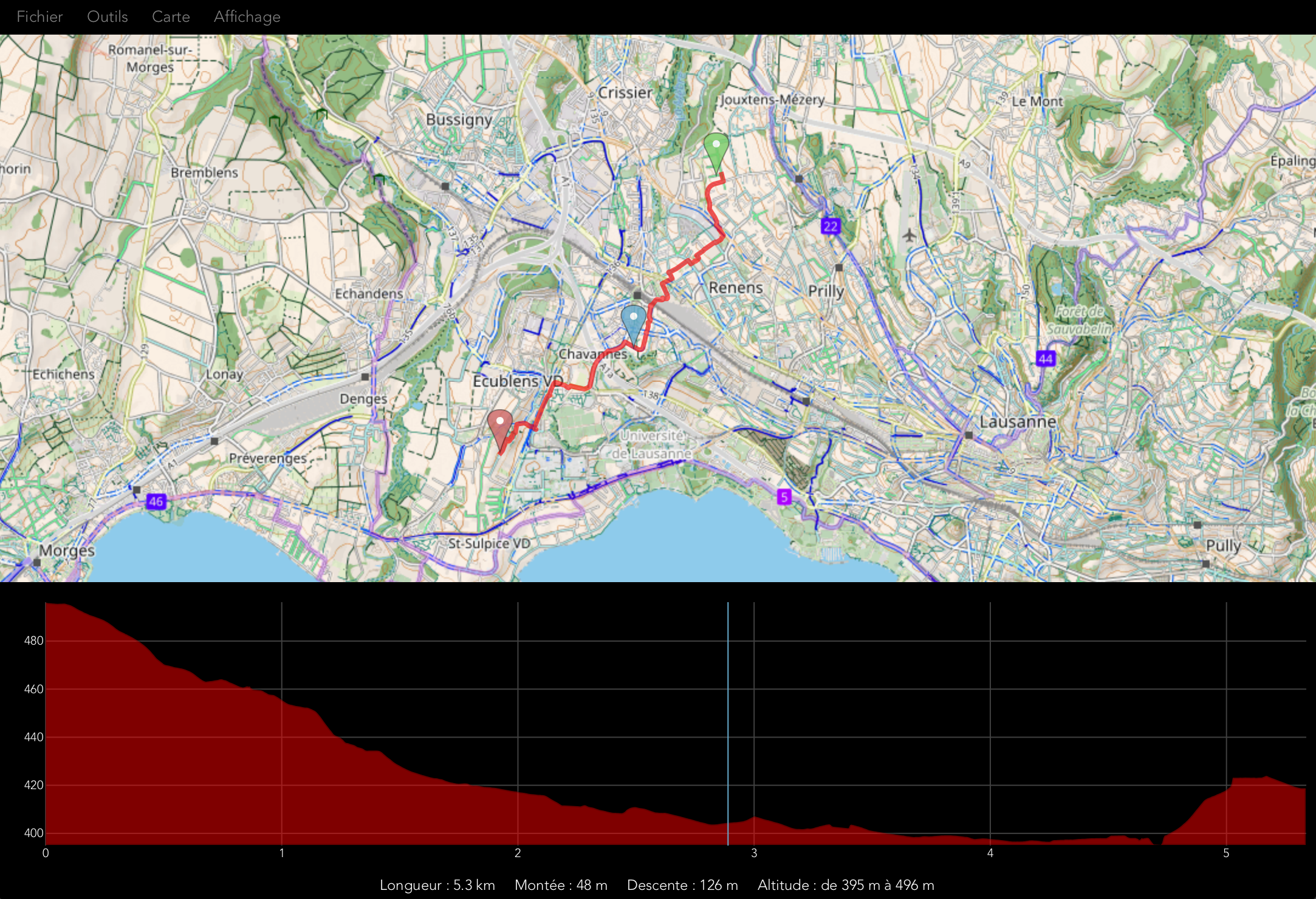
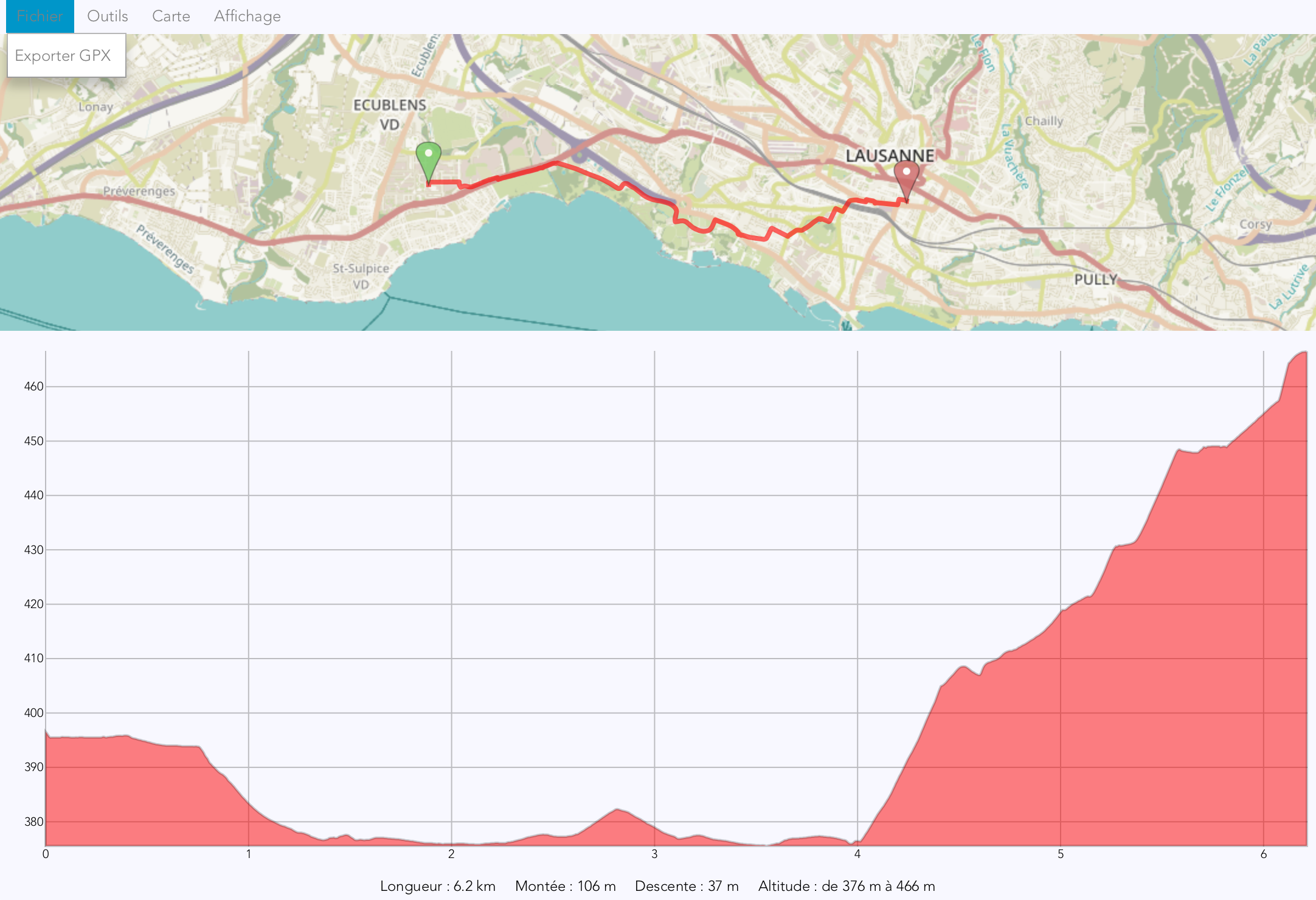
View on GitHubDeveloped a desktop app named JaVelo using Java and JavaFX. The app is a biking tour planning tool for Switzerland, allowing users to select a starting and ending point on the map and providing the best route to take. Users can modify the route by adding intermediate points or deleting points. Once the route is calculated, users can view the elevation profile and additional information like the road angle. The optimal route is calculated using Dijkstra's algorithm.


